ABOUT US: WHAT WE DO, AND THE PEOPLE OF SPATIAL INTERFACE RESEARCH LAB
WHAT WE DO AT SIRL
We design, develop and deploy 3D geographic visualization, using augmented reality (AR), mixed reality (MR), extended reality (XR), and immersive virtual reality (VR) systems. His work also involves the design of survey, capture, visualization and 3D analysis strategies, using laser scanning, structured light, photogrammetry, and structure-from-motion (SfM) methods.
Dr. Hedley and the SIRL team apply these technologies and techniques to respond to a wide range of spatial problems, including: climate change, sea level rise and adaptation; risk communication (tsunamis; earthquakes; mass evacuation simulations); coastal dynamics: coastal vulnerability; rapid-onset hazards; fluvial geomorphology; rigid-body slope mechanics; AI crowd simulations; 3D ecological monitoring on the seafloor (glass sponges); flood risk management in Canada; radiological exposure; coronavirus exposure assessment and risk communication; digital cultural heritage and archaeological reconstruction; social justice; visualization interfaces for planetary and space science informatics.
ABOUT THE DIRECTOR OF THE SPATIAL INTERFACE RESEARCH LAB

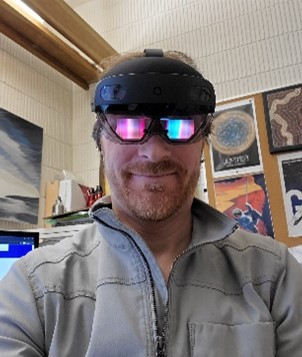
Dr. Nick Hedley is the founding Director of SIRL. [Faculty profile page] [Email]
Nick has been researching geovisualization, virtual environments and mixed reality for approximately 20 years. Dr. Hedley is a multi-disciplinary spatial visualization and spatial interface designer/developer/applied scientist with primary interests in 3D geographic visualization, 3D spatial interfaces, 3D data surveying, and applying these methods to real geographic challenges.
At the core of his research is the process of designing, developing and testing new geovisualization interfaces that respond to applied problems and challenges to characterize and understand the geometry and dynamics of complex spatial phenomena. His program of research is driven by how new enabling technologies facilitate powerful ways to characterize, visualize, experience and interact with geographic data.
Dr. Hedley's research has been funded by the U.S. National Science Foundation, U.S. Environmental Protection Agency, U.S. Department of Energy, the US National Research Center for Statistics and the Environment, Canada's AANDC, INAC CCAP, the Stavros Niarchos Foundation, SSHRC, NSERC, the Canadian Water Network (CWN) Canadian Networks of Centres of Excellence (NCE), Geomatics for Informed Decisions (GEOIDE) NCE, MEOPAR NCE, and MITACS.
In addition to academic research, Dr. Hedley has consulted for numerous major organizations in broadcasting, public education and the movie industry. He is a frequent journal manuscript reviewer across a range of academic communities, in the areas of spatial interface research, VR, AR, MR, XR, geovisualization, geovisual analytics, and space science informatics. He is also a grant reviewer for SSHRC, NSERC, NSF, ESF, and NASA.
CURRENT AND PAST RESEARCHERS, STUDENTS & COLLABORATORS OF THE SPATIAL INTERFACE RESEARCH LAB